
Extreme Weather Across North America Brings Alaska Snow Wisconsin Tornado and Hurricane Genevieve

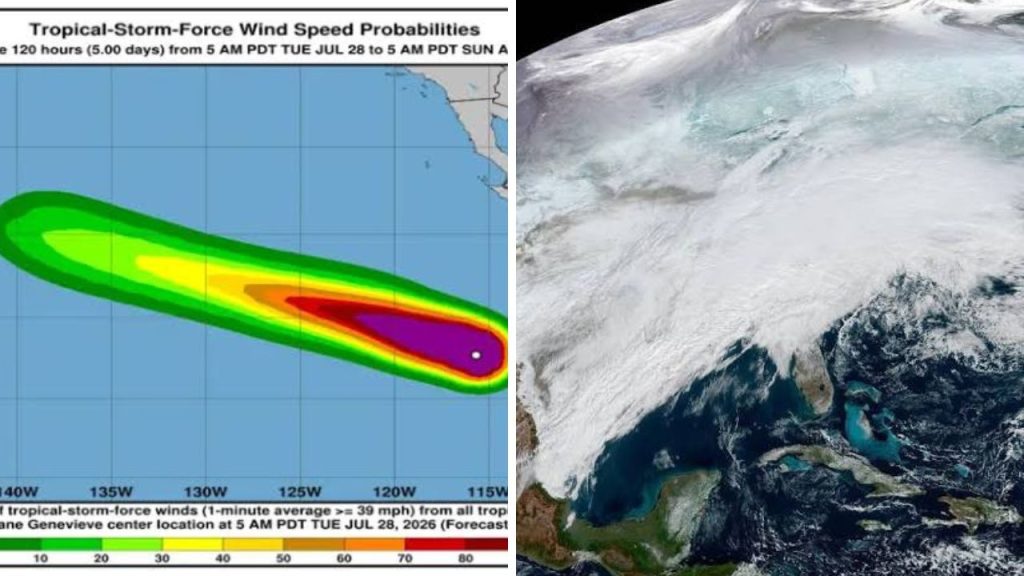
North America is facing a striking mix of weather hazards at the height of summer. Snow has returned to Alaska’s Brooks Range, a destructive tornado has cut through northeastern Wisconsin, and Hurricane Genevieve is producing dangerous Pacific surf near Mexico. The events are separated by thousands of miles, yet each is disrupting travel, utilities, coastal activity, or local recovery efforts.

North America Weather Extremes Stretch From Alaska to Mexico
North America weather extremes are showing how quickly conditions can change across the continent. An Arctic cold front brought wintry travel risks to northern Alaska, while heat and humidity helped create a powerful storm environment over the Great Lakes. Farther south, exceptionally warm Pacific waters supported the rapid strengthening of Genevieve. Residents, travellers, road crews, emergency workers, and coastal visitors are dealing with very different threats at the same time.
Alaska Snow Covers the Central Brooks Range in Late July
A winter weather advisory covered the Central Brooks Range and parts of the Dalton Highway as late-July snow moved across northern Alaska. Forecasts called for roughly 2 to 6 inches of accumulation, along with blowing snow, reduced visibility, and a light coating of ice on some roads. Atigun Pass and nearby high-elevation sections faced the greatest travel concerns.
The snowfall is unusual for many readers because it arrived during midsummer, but snow can still occur in Alaska’s higher Arctic terrain. The main impact was not on large population centres. Instead, the concern focused on drivers, freight operators, workers, and remote communities that rely on the Dalton Highway. Conditions improved as the system moved away, although scattered snow showers remained possible in parts of the region.
Wisconsin Tornado Leaves a 12-Mile Damage Path
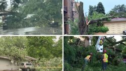
The most serious damage occurred in Wisconsin’s Fox Cities area, including Appleton, Menasha, and Neenah. The National Weather Service gave the tornado a preliminary EF3 rating and estimated peak winds near 140 mph. It stayed on the ground for more than 20 minutes and travelled approximately 12 miles.
Homes and businesses lost roofs, vehicles were overturned, trees were snapped, and utility poles were brought down. More than 30,000 customers initially lost electricity, while thousands remained without service the following day. Shelters opened for displaced residents, and a boil-water advisory was issued in part of Fox Crossing after pressure dropped in the local system. Officials reported no deaths or missing people from the tornado, while injury assessments continued.
Hurricane Genevieve Sends Dangerous Swells Toward Mexico
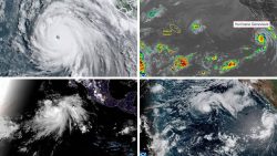
Genevieve rapidly intensified over the eastern Pacific and briefly reached Category 5 strength with winds of 160 mph before weakening. By early July 29, the National Hurricane Center listed the storm as a Category 4 hurricane with maximum sustained winds of about 130 mph. It was moving west-northwest and remained well offshore from Baja California.
Although a direct landfall was not forecast, Genevieve was generating large swells along the Baja California Peninsula and southwestern Mexico. Forecasters warned that the waves could create life-threatening surf and rip currents. Coastal communities, swimmers, surfers, fishers, and visitors were urged to follow local guidance and avoid entering dangerous water.
Recovery and Safety Remain the Main Priorities
These events do not represent one connected storm system, but together they highlight the wide range of hazards possible across North America. Safe travel is the priority in Alaska, debris removal and power restoration are central in Wisconsin, and beach safety remains critical along Mexico’s Pacific coast. Clear alerts and accessible public information will remain important as conditions change.
Sources
- National Weather Service: The Wisconsin tornado received a preliminary EF3 rating with estimated peak winds of 140 mph.
- AP News: The tornado remained on the ground for more than 20 minutes, travelled about 12 miles, and caused major damage without reported deaths or missing people.
- National Hurricane Center: Genevieve had sustained winds of 115 knots and was moving west-northwest early on July 29.
- UPI: Genevieve generated life-threatening surf and rip-current conditions around the Baja California Peninsula.
- AccuWeather: Genevieve briefly became a Category 5 hurricane with maximum sustained winds reaching 160 mph.
