
Super Typhoon Dolphin Reaches Category 5 Strength as Forecasters Track Its Next Path

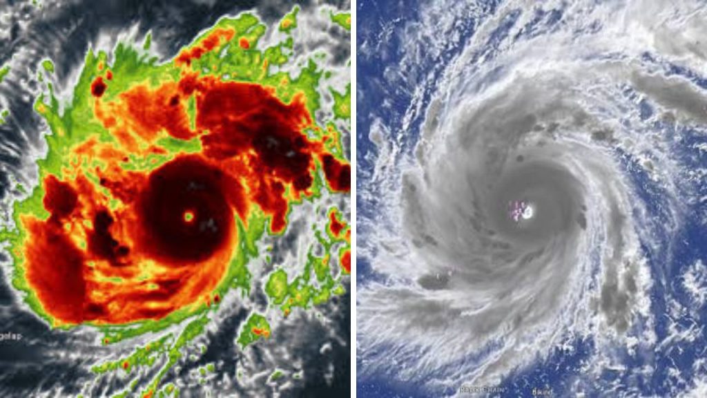
Super Typhoon Dolphin is now allegedly a Category 5-equivalent storm, and is becoming a focus of attention across the western Pacific. Forecasters are watching its movement, wind field and forecast changes as it moves over warm ocean water. A storm of this magnitude can produce dangerous seas, coastal floods and devastating winds across a large area, even while a cyclone is still far from land.
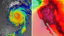
Forecast Track of Super Typhoon Dolphin
The anticipated track of Super Typhoon Dolphin remains the main point of interest for both weather agencies and areas who may be affected. Tropical cyclones can be moved great distances in a matter of days by little changes in the steering winds. “Residents throughout the potentially affected islands and coastal area should therefore pay attention to official forecasts, rather than a single projected track.
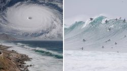
Forecast models can offer diverse possibilities since each model handles atmospheric data differently. Some may recommend a northerly turn, others may point to a more westerly direction. These disparities tend to grow as the storm evolves, and as forecasters get fresh satellite, aeroplane, radar and ocean data.
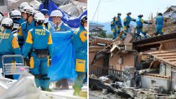
Dolphin Reaches Category 5-Equivalent Strength
Category 5 is the highest category on the Saffir-Simpson Hurricane Wind Scale and signifies a tropical cyclone. Storms at this category may create persistent winds that can cause extensive structural damage. However, agencies in the western Pacific may use terminology such as “violent typhoon” or “super typhoon,” instead of Atlantic hurricane categories.

Intensity forecasts can vary rapidly. A cyclone can be strengthened by warm water and minimal wind shear, but weakened by dry air, cooler seas or stronger upper-level winds. Short-term changes in storm size and wind speed can also occur due to eyewall replacement cycles.
Forecasters Watch for Threats to Land
Emergency personnel will probably be watching Dolphins outer wind field, rainfall possibilities and wave conditions closely. The centre of a storm does not need to make direct landfall to cause catastrophic consequences. Large swells are possible far ahead of the storm’s arrival, which could create dangerous surf and rip currents along beaches.
shipping and aviation could be disrupted
Large tropical cyclones often impact shipping lanes, commercial fishing and airline traffic. Cargo ships may divert course to escape rough seas, while airlines may cancel or reroute flights in the storm’s circulation.
Port officials also may cease operations when conditions are dangerous. Such delays might continue after the cyclone has passed as damaged infrastructure, high seas and heavy rains can impede recovery work.
What You Should Watch Next for Residents
The most significant updates will cover Dolphin’s forward speed, direction, storm size and projected intensity. Residents are advised to regularly check alerts issued by national weather agencies and local emergency authorities.
Basic preparations can include charging mobile devices, securing outdoor goods, preserving drinking water, preparing medicines and keeping essential documents protected. People with impairments, senior people, families with young children and those living in isolated places may require additional time to prepare or move.
The forecasts will continue to change as fresh information is available. Communities should take all updates seriously but there should be no panic and no reliance on unsubstantiated social media reports.
Sources
- Japan Meteorological Agency – The authorised source for typhoon data in the region, including pressure readings, movement forecasts and warning maps.
- PAGASA – Issues tropical cyclone advisories and public safety information as storms enter the Philippine monitoring region.
- NOAA National Hurricane Centre — Discusses Category 5 wind thresholds, storm risks, and tropical forecasting systems.
- World Meteorological Organisation – International cyclone naming, warning criteria and collaboration between regional weather agencies.
