
San Antonio Storm Warning Reveals When Weekend Weather Could Affect Outdoor Plans

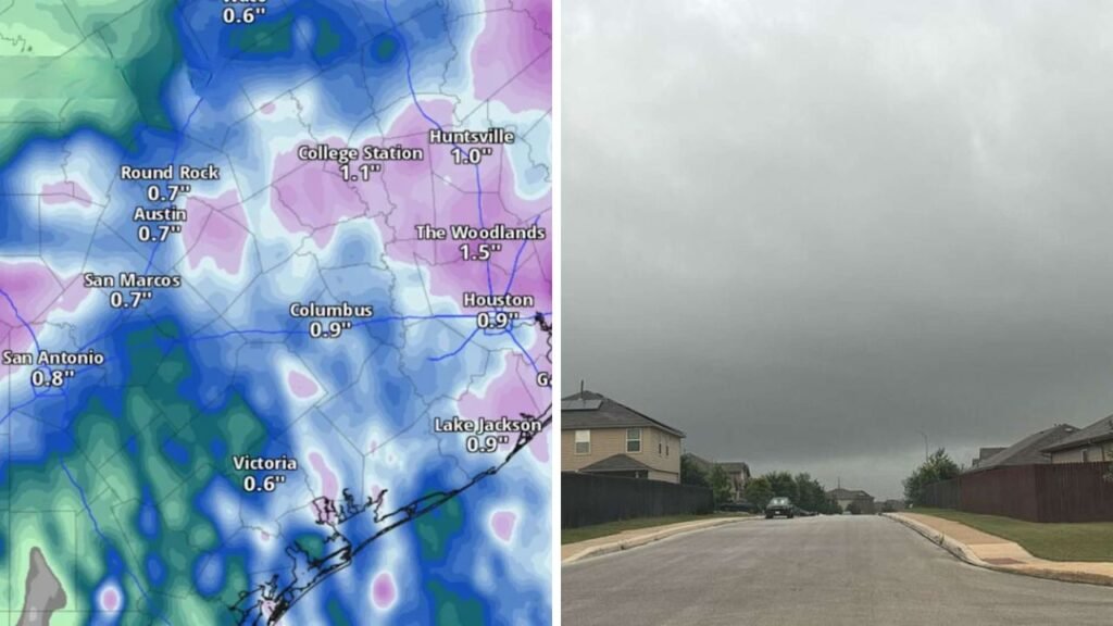
The San Antonio Storm Warning is creating a buzz before the weekend as forecasters predict scattered thunderstorms that could temporarily disrupt outdoor events across the city. It won’t rain the entire weekend, but Saturday afternoon and evening will be the time most likely for thunderstorms, heavy downpours, lightning and gusty winds. Those planning sporting events, festivals, barbeques or other outdoor activities should check updated forecasts before venturing out.

More moisture from the Gulf of Mexico is making conditions favourable for scattered thunderstorms across South Central Texas, according to the National Weather Service. Showers are possible to develop late Saturday morning and become more widespread during the afternoon, according to forecasters. Some of the storms could produce locally heavy rain. Rainfall amounts will vary widely from neighbourhood to neighbourhood, however. Highs are forecast to reach the low 90s, but humidity could push the heat index over 100 degrees even where rain falls.
 Missouri Declares State of Emergency as Severe Storms Trigger Dangerous Flooding Across the State
Saturday Poses the Greatest Storm Risk
Saturday will be the most active weather day of the weekend. Meteorologists say daytime heating and plenty of moisture will help increase thunderstorm coverage through the afternoon and evening hours. Severe weather is not expected to be widespread, but lightning, brief heavy rain and isolated strong wind gusts may cause interruptions of outdoor plans with little warning.
 El Niño 2026 Continues to Strengthen as Experts Predict Big Changes for California Rainfall
The outlook is somewhat better on Sunday. Scattered afternoon showers are forecast, with most of San Antonio seeing longer dry spells. However, residents should still keep an eye on the weather as scattered storms can still develop during the hottest part of the day.

What to Expect Next Week
The unsettled weather pattern should continue into early next week with tropical moisture lingering over Texas. Rain chances could increase again on Monday and Tuesday with slow-moving storms capable of producing localised heavy rainfall. Several inches of rain could fall in some areas with multiple storms moving over the same area, increasing the potential for isolated flash flooding.
There is a better chance of rain, but temperatures are likely to be closer to normal, rather than the extreme heat seen earlier this month. Those who spend extended periods of time outdoors should continue taking precautions against the heat, while being aware of changing weather conditions.
Sources
National Weather Service Austin/San Antonio – Rain timing, precipitation chances, temperatures and heat index forecast.
MySA – Weekend rain chances, outdoor planning impacts and daily forecast timeline.
San Antonio Express-News – Peak thunderstorm timing, Gulf moisture pattern, rainfall potential and flood risk early next week.
San Antonio Express-News – Recent dry spell and changing weather pattern leading into the weekend.
