
Houston Overnight Temperatures Stay High as Summer Heat Gets Even Stronger

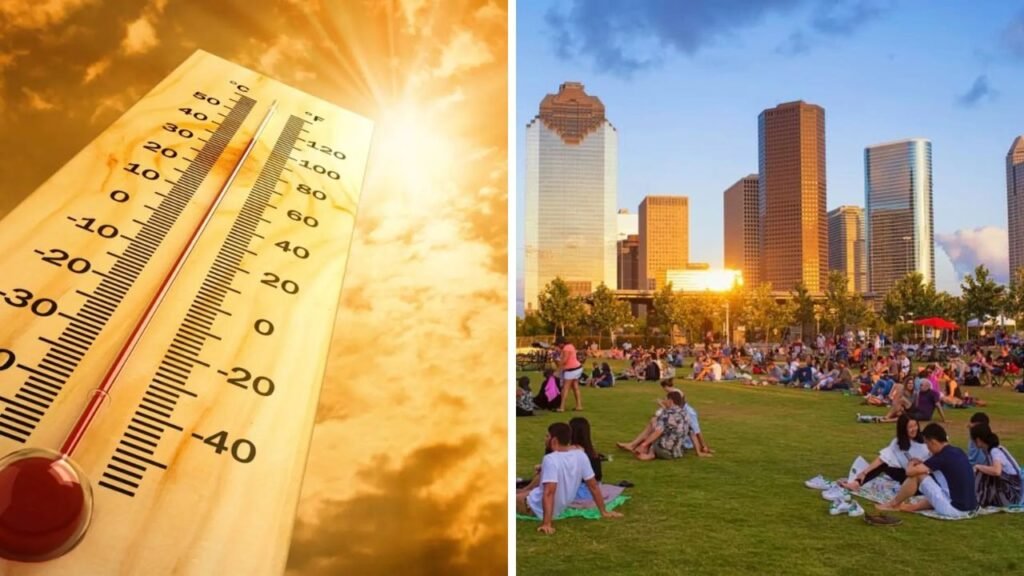
Houston overnight temperatures are entering one of the toughest stretches of summer, not simply because afternoons are hot, but because the city is getting less relief after sunset. The National Weather Service says Southeast Texas is facing daytime heat index values of about 100 to 108°F, while overnight lows are expected to remain in the mid-70s to low 80s, especially closer to the coast.
 Flash Flood Warning Issued for NYC and Long Island as Severe Storms Bring Heavy Rain and Flood Risks
The NWS Houston/Galveston office reported on July 8 that hot conditions were continuing across the region, with afternoon temperatures ranging from the upper 80s to upper 90s. For Wednesday night, forecasters expected warm and muggy conditions, maximum relative humidity of 85% to 99%, and lows ranging from the mid-70s to the low 80s. Thursday was also expected to bring mid- to upper-90s temperatures in many areas and heat index readings again reaching 100 to 108°F.
Warmest part of the year at night
Long-term local climate averages put Houston’s normal overnight low at 76°F during the warmest nighttime stretch of the year, which runs from July 7 through August 18. Normal nighttime temperatures do not fall below 70°F again until late September. riod when residents may wake up to warm, humid conditions and then face another afternoon of temperatures in the 90s.

On the morning of July 8, NWS observations showed how much conditions could vary across the metro area. Houston Intercontinental Airport was reporting 73°F with 96% relative humidity shortly before 6 a.m., while Hobby Airport was at 78°F with 87% humidity. Galveston was already at 82°F before sunrise.

Make warm nights harder
Urban development can add another layer to the problem. The Environmental Protection Agency says urban heat islands in the United States can keep nighttime temperatures about 2 to 5°F warmer than surrounding outlying areas. The EPA also notes that humid regions and large, densely populated cities can experience some of the strongest differences. and other developed surfaces absorb heat and release it gradually. That can make nighttime cooling less effective, particularly for people without reliable air conditioning or those who work outdoors and depend on the evening for physical recovery.
Houston’s weather pattern could become somewhat wetter heading into the weekend. Local forecasting indicates rain chances are expected to increase from Friday into Saturday and Sunday as deeper Gulf moisture returns. More clouds and scattered storms could hold some afternoon temperatures in the lower to mid-90s, but they are not expected to end the broader summer heat pattern.
Sources
Houston Chronicle: Timing of Houston’s warmest normal overnight period, the late-September return of sub-70°F normal lows, and the expected increase in weekend rain chances.
U.S. Environmental Protection Agency: Urban heat-island data, including the 2–5°F nighttime temperature difference and heat-related health impacts.
Houston Office of Emergency Management: Local heat-safety information and cooling-center resources.
