
Tropical Storm Genevieve Forms in the Pacific as Hurricane Fausto Strengthens to Category 2

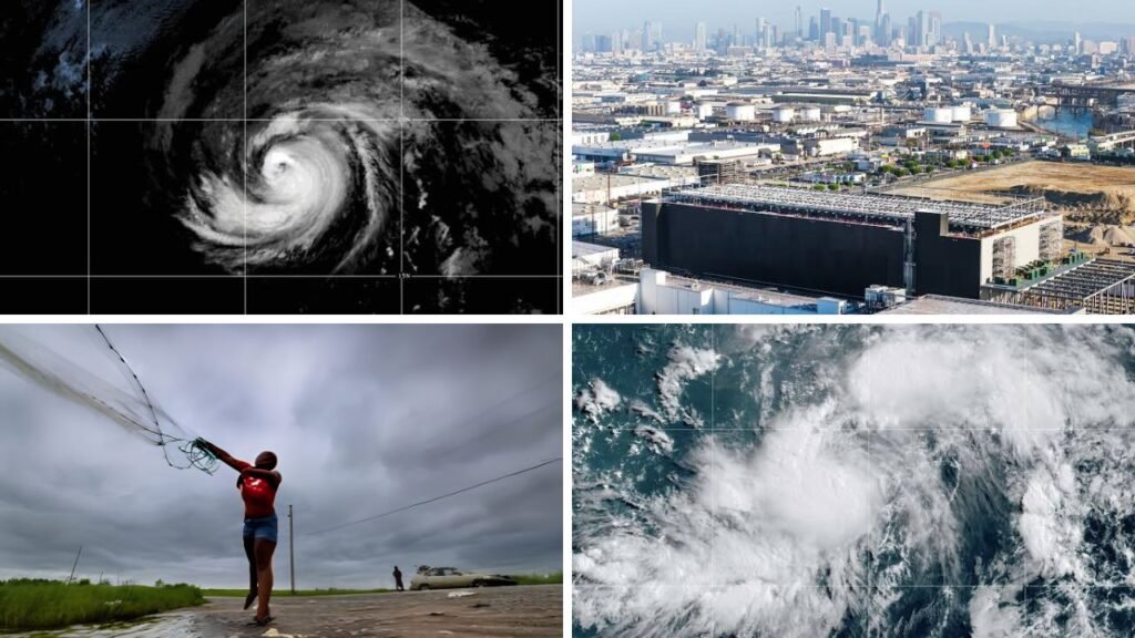
Hurricane Fausto has strengthened to Category 2 as another named cyclone develops south of Mexico, creating a busy weather pattern across the eastern Pacific. Neither system was directly affecting land as of late Friday, July 24, but Fausto’s movement towards the central Pacific has increased concerns in Hawaii. Residents and coastal communities are being encouraged to follow official updates as the forecast develops.

Tropical Storm Genevieve Forms in the Pacific
Tropical Storm Genevieve formed on Friday about 570 miles south of Zihuatanejo, Mexico. It had maximum sustained winds of approximately 50 mph and was moving west-northwest at around 12 mph. Forecasters expect the system to strengthen rapidly over the next couple of days. Genevieve could become the first major hurricane of the 2026 eastern Pacific season. Current projections keep the storm over open water, limiting the immediate threat to populated coastal areas.
Hurricane Fausto Reaches Category 2 Strength
Fausto remained a Category 2 hurricane late Friday, with maximum sustained winds near 105 mph. The National Hurricane Center placed the storm near 18.7 degrees north and 133.9 degrees west. It was moving west at approximately 14 mph. Although Fausto remained far from the Hawaiian Islands, its westward track means possible effects could reach the state early next week.
 5.1 Magnitude Earthquake Strikes Near Miami Texas as USGS Reports Shaking Across the Region
Forecast models show Fausto gradually weakening as it encounters cooler ocean water, stronger wind shear and dry air. However, a weakening tropical system can still create dangerous conditions. A small change in its track could affect which islands experience the strongest winds, rainfall and ocean swells.
 Preliminary 2.7 Magnitude Earthquake Reported Near San Leandro With Residents Feeling Light Shaking
Hawaii Watches for Rain, Wind and High Surf
The National Weather Service in Honolulu said high surf along east-facing shores could rise above advisory levels between late Sunday and Tuesday. Strong winds may develop near the storm’s centre, while periods of heavy rainfall are possible from Tuesday into Wednesday. Officials warned that island-by-island effects will depend on Fausto’s eventual path and intensity. Residents should review emergency plans, check essential supplies and rely on updated information from recognised weather agencies. AccuWeather said the most likely concerns include increased surf and dangerous rip currents, especially along east- and north-facing beaches. Gusty winds and locally heavy showers may also occur if Fausto passes close enough to the islands. The hurricane is expected to weaken to tropical storm strength before entering the region. However, communities should not rely only on a storm’s category when judging potential danger.
Dangerous Ocean Conditions May Reach California
Fausto’s circulation is also producing long-distance swells. The National Hurricane Center warned that these waves could create life-threatening surf and rip currents along parts of Southern California. Beachgoers should follow local warnings, avoid closed swimming areas and remember that powerful currents can develop even when skies appear calm. People without strong swimming experience should remain away from rough water.
An Active Eastern Pacific Weather Pattern
Genevieve’s rapid development behind Fausto highlights an increasingly active period in the eastern Pacific. While Genevieve does not currently pose a direct threat to land, its expected intensification will remain closely monitored. People in Hawaii, Mexico and coastal areas of the western United States should continue checking official forecasts. Tropical cyclone tracks, wind strength and local impacts can change quickly as new weather data becomes available.
Sources
- NOAA National Hurricane Center: Fausto had 105 mph winds, while Genevieve had 50 mph winds and was forecast to become a major hurricane.
- Associated Press: Fausto was expected to approach Hawaii, while its swells could create dangerous surf and rip currents in Southern California.
- National Weather Service Honolulu: Possible Hawaii impacts include high surf, strong winds and heavy rainfall from Tuesday through Wednesday.
- AccuWeather: East- and north-facing Hawaiian beaches may experience the greatest surf and rip-current risks.
- FOX Weather: Cooler water, dry air and increasingly hostile atmospheric conditions are expected to weaken Fausto near Hawaii.
