
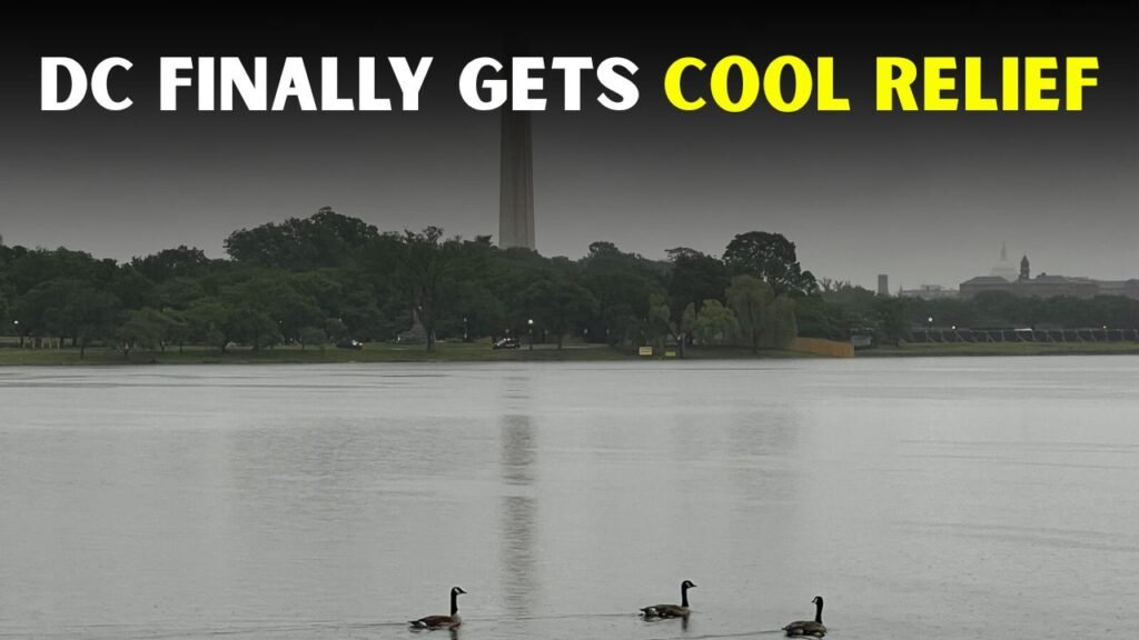
DC Area Finally Cools Down After Hot Stormy Weekend

Why Did It Cool Off In The DC Area?
The cool-down came with a weather pattern change across the Mid-Atlantic, bringing in less humid air. Following a sticky weekend with heat and storms on Sunday, Monday arrived with mostly sunny skies and a more comfortable high near the low 80s, giving residents a welcome break from the sticky weekend weather.
- The lower humidity made the air feel fresher.
- The storm system moved out and clouds cleared up.
- The daytime temperatures fell from the 90s to the 80s.
- And it was cooler and more comfortable at night.
How hot was it in DC this weekend?
It was a weekend of very active weather with heat, humidity, and storm chances all coming together. Sunday in Washington, DC, hit about 91°F with a chance of late-day thunderstorms. The combination helped create an unsettled feel to the weather, particularly for anyone travelling, going to outdoor events or spending long hours outdoors.

- And it was hot across much of the area Sunday.
- Humidity weighed down the atmosphere.
- Later in the day, thunderstorms developed.
- Some storms may bring strong winds and heavy rain.
Were the storms dangerous?
The storms weren’t unusual for summer but still presented dangers to the region. Heavy rain, lightning, gusty winds and brief flooding issues can develop quickly during hot and muggy weather. Residents were urged to remain weather aware, especially for the afternoon and evening storm window.

What Changed After The Storms Were Gone?
The storm activity moved out, and the atmosphere became more benign, more stable. The biggest difference was the decrease in humidity, which made the DC area feel more comfortable. The sun shone again, the wind eased and it was better to be out and about, whether commuting, walking or making other evening arrangements.
- The stormy pattern ceased, and the skies opened.
- The air was drier than it had been at the weekend.
- It was easier to cope with being outside.
- Morning and evening temperatures felt better.
Will This Cool Weather Stick With Us?
A cooler feel will likely hang around for a bit, but summer warmth will be back. The beginning of the week will be pleasant, with temperatures gradually rising after that. Highs in the 80s are expected in the DC area before the weather turns warmer and more humid again later.
- Monday and Tuesday appear more comfortable.
- Temperatures may rise again by midweek.
- Storm chances may return later this week.
- Humidity might rise with warmer air returning
How to Enjoy the Break for Residents
This brief cool-down is a nice chance for residents to get outside and enjoy some activities with less concern about the weather. Morning walks, patio dining, park visits and evening exercise should feel much better than during the hot and stormy weekend. But people should still check the forecast before they make plans.
What Should Drivers Look Out For After Storms?
Motorists should exercise caution even when the weather improves. Roads may still be slippery, and strong winds may knock down tree branches. Some low-lying areas may still be flooded. The sunshine may be back, but that doesn’t mean all storm impacts are out of neighbourhoods and roadways.
- Wet pavement: Look for it on your morning commute.
- Don’t drive through flooded roads.
- Look for fallen branches on side streets.
- Drive slower in areas with heavy rain.
What’s the Main Takeaway for D.C.?
The bottom line is simple: The DC area is finally getting a pleasant break from a hot, humid and stormy weekend with cooler, calmer weather. The summer heat is likely to return, but the short-term forecast is a pleasant break with brighter skies, lower humidity and better outdoor conditions.